North Texas — A few scattered showers and thunderstorms emerged throughout North Texas in the evening; however, the most intense activity is expected to come overnight into Monday.
The Storm Prediction Center indicated an elevated danger (level 3 out of 5) for the far western regions overnight.
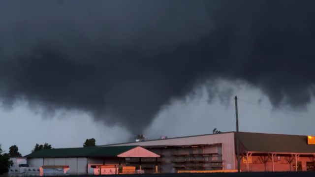
As the system progresses eastward, scattered severe thunderstorms with winds of 60 mph or higher, as well as isolated tornadoes, are likely by early Monday morning.
This severe squall line will cause problems during the early morning commute. The peak activity will occur between 3 a.m. and 6 a.m. in western counties, 6 a.m. to 10 a.m. in the I-35 corridor and metroplex, and 10 a.m. to 1 p.m. in eastern counties.
Following the front, high winds will persist for the day. Wind gusts of up to 40 mph are likely. Now is the time to get ready and bring in everything that can be flung outside.
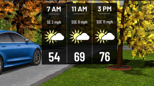
After the system passes through, clear skies are expected by Monday evening. This will pave the way for another beautiful Tuesday, with highs in the 70s and plenty of sunshine.
Another strong cold front is expected to arrive on Tuesday night—however, this time the front delivers significantly cooler weather and dry air. The typical high temperature for this time of year is 66 degrees, but Wednesday’s highs will be a few degrees below that.
A high-pressure system will form in the upper atmosphere over the rest of the week and into the weekend. Temperatures will steadily rise above average, and glorious bright skies will continue.


+ There are no comments
Add yours