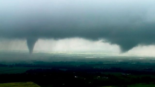
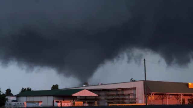
As projected and discussed in recent days, the elements are beginning to fall into place for a hard night tonight and Monday across Texas, Oklahoma, and Kansas.
Low pressure will move from Mexico to New Mexico, then over Texas to access tropical moisture from the Gulf of Mexico. The contrast in air masses, along with convective energy, will be more than adequate to provide widespread severe weather and heavy rain across a large area.
Beginning this afternoon and evening, clusters of heavy showers and thunderstorms will hit New Mexico, west Texas, and the Texas panhandle. Then, more structured heavy thunderstorms will travel to the east/northeast across Texas, Oklahoma, and Kansas.
Heavy rain and thunder will be widespread, but the most violent storms will occur just ahead of the low-pressure system and then trail down with the subsequent cold front. This will put areas like Dallas/Fort Worth at risk of severe thunderstorms. We’ll also see that line cross southeast Kansas and east Oklahoma before moving into Missouri, Arkansas, and Louisiana.
The most severe thunderstorms are likely to have damaging winds, huge hail, frequent lightning, torrential rain, and an elevated danger of tornadoes. Our time window for this action continues to be this afternoon through late Monday evening, from southwest to east/northeast.


+ There are no comments
Add yours