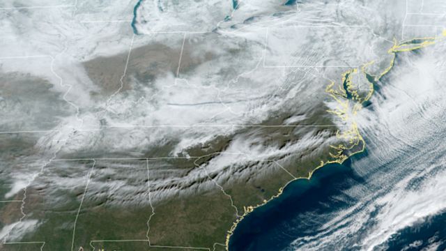
Storms from the West Coast are moving quickly across the Rockies and into the Great Plains as the day goes on. Things don’t seem too dangerous right now as that system starts to dry out.
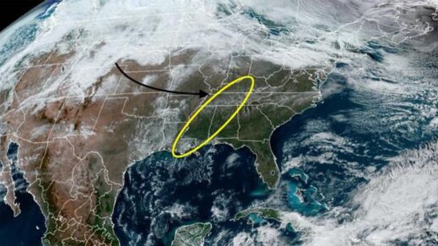
But a cold front that goes through Texas will finally reach Louisiana and pick up some energy from the Gulf of Mexico. This will give it just the right amount of power to make a narrow line of heavy rain and thunderstorms. It is planned that this thin line will go from Kentucky to Tennessee, Alabama/Mississippi, and then across Louisiana.
At this point, we don’t think there will be any broad severe weather, but there is some worry that this narrow line of heavy thunderstorms could turn into a nasty gust front. Straight-line winds of more than 45 to 50 mph could move quickly through the states listed. It might also rain hard for a short time, lightning often, and small hail.
You might also see a bigger, better-organized system by the end of the week. This one could bring greater rain over a longer period. We will also be on the lookout for more thunderstorms because of this. It is possible that rain will cause floods. Take steps to protect things that could get destroyed or blown away tomorrow night and the next morning, like light outdoor furniture and decorations.


+ There are no comments
Add yours