
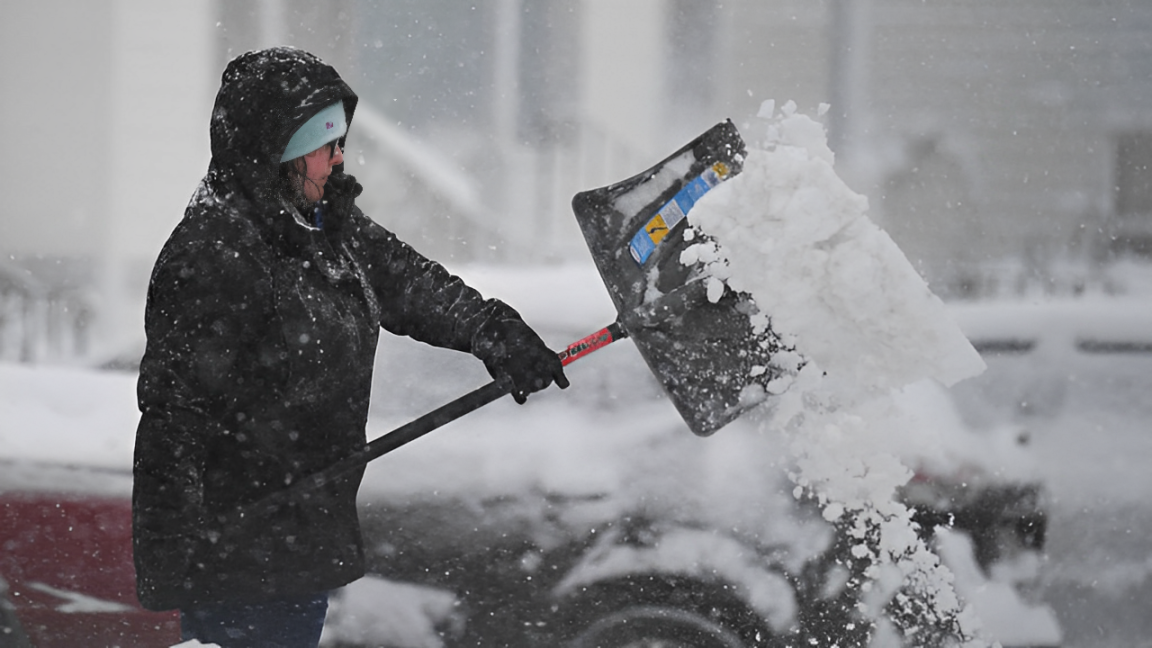
Farmington, MO – A strong winter storm is sweeping across southeast and east-central Missouri, bringing heavy snowfall.
The National Weather Service (NWS) predicts that snow accumulations will range between 5 and 10 inches by early Wednesday. Some areas may experience even higher snowfall amounts.
Winter Storm Warning in Effect Until Wednesday Morning
The NWS in St. Louis has issued a Winter Storm Warning, which remains active until 6 a.m. CST on Wednesday.
This warning covers multiple counties, including Crawford, Washington, Saint Francois, Sainte Genevieve, Iron, Madison, and Reynolds.
Travel Disruptions Likely on Tuesday
Authorities warn that Tuesday’s morning and evening commutes will be severely impacted.
Road conditions are expected to worsen, making travel dangerous or even impossible in some areas. Officials urge residents to stay off the roads unless necessary.
Safety Tips for Essential Travel
For those who must travel, experts recommend carrying an emergency kit with:
- A flashlight
- Food and water
- Warm clothing and blankets
Motorists should check the latest road conditions at traveler.modot.org or call 1-888-275-6636 before heading out.
Snow to Continue Until Early Wednesday
The storm will continue throughout Tuesday, with snowfall gradually tapering off by early Wednesday morning.
Once the storm passes, cleanup crews will work to clear roads, but residents should expect delays as the recovery process begins.
Read More:
- Minnesota Weather: Bitter Cold and Sunshine Return for Tuesday!
- Winter Nightmare in Oklahoma: Icy Roads, Freezing Temps & Travel Alerts!
Final Advisory
Authorities advise residents to stay indoors, monitor weather updates, and prepare for potential power outages.
Stay safe and take precautions as this winter storm moves through the region.
Disclaimer- Our team has thoroughly fact-checked this article to ensure its accuracy and maintain its credibility. We are committed to providing honest and reliable content for our readers.