 by
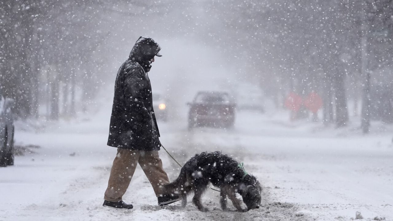
by Newark, NJ — New Jersey’s stretch of mild autumn weather is coming to an end. Forecasters warn that colder temperatures, gusty winds, and even a chance for early-season snow could arrive between November 9 and 15, marking the state’s first real taste of winter.
Sharp Pattern Shift Ahead
According to the NOAA Climate Prediction Center, much of the Northeast, including New Jersey, will see temperatures trending near or slightly below normal through mid-month. Precipitation levels are expected to remain close to or slightly above average, setting the stage for fast-moving storm systems to track across the region.
These systems could bring periods of cold rain, blustery winds, and possible wet snow to the northwestern parts of the state, especially in higher elevations along and north of Interstate 287.
Cold Front to Bring Dramatic Drop in Temperatures
The National Weather Service in Mount Holly reports that a strong cold front will sweep across the Garden State early next week, ending the recent warmth. Daytime highs will struggle to reach the 40s and 50s, while overnight lows in northwestern New Jersey could fall close to freezing.
Coastal regions, including Monmouth and Ocean counties, are expected to remain a bit milder but will face brisk winds and scattered coastal showers late in the period.
Travelers and Homeowners Urged to Prepare
Drivers on I-80, I-78, and the Garden State Parkway should prepare for changing travel conditions, particularly during morning and evening commutes when visibility may be reduced by rain or snow showers.
Read Also: Tallahassee Weather Forecast: Breezy, Cool Start to the Week Before Warmer Midweek Temperatures
Meteorologists advise residents to seal windows and doors, protect outdoor plumbing, and test heating systems before the Thanksgiving travel rush.
A Glimpse of Winter to Come
Experts say the mid-November cold snap could be a sign of what’s ahead, with more significant snow chances later in the month if the current pattern continues.
“This is the first real signal that winter is on the way,” one meteorologist noted. “The combination of cooler air and an active storm track could mean more early snow opportunities for parts of New Jersey before December arrives.”
Stay updated with the latest New Jersey weather alerts and local forecasts as the cold front approaches, and for more regional weather news, visit race-day-live.com.