The Northeast is still stuck in cold air, and on Thursday, another blast of cold air will come through to make things even worse. This one will bring a lot of wind, and behind it will be scattered rains and light snow. Our next storm system will bring us chilly to cold air through the weekend. This could help prepare us for freezing rain and/or snow sometime between Monday and Tuesday.
In other parts of the country, unusually cold air has made its way down to the Southeast and is still there. Again, parts of Georgia and Florida will see heavy frost and freeze conditions tonight and early tomorrow morning. Southern Georgia and parts of northern Florida are likely to have subfreezing weather. The weather will probably change on Friday, and then it should be much warmer over the weekend.
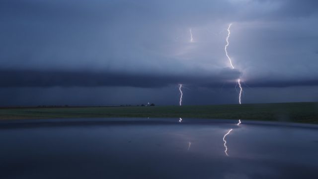
While this is going on, much-needed rain is falling in the southern part of Texas as energy from the Gulf of Mexico comes ashore. Expect heavy rain and thunderstorms to move across the area in waves. Eventually, the weather will clear up to the north and northeast. Heavy rain and thunderstorms will start in places like Houston and Dallas over the next couple of days. The storms will then move to Louisiana and Mississippi as the energy is pushed back toward the Gulf Coast.
Tomorrow and Wednesday, there may be one or two instances of bad weather. Watch out for the chance of harmful winds, hail, lightning, and heavy rain in certain areas. There is also a chance that waterspouts will happen more often along the coast.

