
New York, NY—
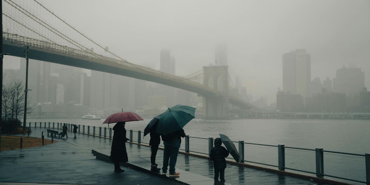
A damp, foggy stretch continues across New York City this Wednesday, as another round of showers could disrupt morning commutes and school drop-offs.
According to the National Weather Service, a 50% chance of rain begins mid-morning Wednesday, accompanied by lingering patchy fog.
Highs will hover near 68°F, with light southwest winds. Though rainfall amounts will remain low—less than a tenth of an inch—visibility may be reduced below 2 miles at times, especially near coastal and low-lying areas.
Travelers should allow extra time on I-278, FDR Drive, and the Brooklyn-Queens Expressway, where wet pavement and limited visibility could slow traffic. Pedestrians and cyclists are also urged to use caution on slick sidewalks and crosswalks.
Pennsylvania Weather Alert: Snow Expected Midweek, Warmer Weekend Coming!
Rain risks diminish Wednesday night with partly cloudy skies and a low near 59°F. Thursday brings a dry break, with partly sunny skies and a high near 69°F. However, more showers return Thursday night and Friday, keeping the city in a rinse-and-repeat weather pattern into the weekend.
Here’s your 5-Day Spring Outlook for New York City:
- Wednesday: Showers likely. High: 68°F.
- Thursday: Partly sunny. High: 69°F.
- Friday: Chance of rain (30%). High: 67°F.
- Saturday: Mostly sunny. High: 64°F.
- Sunday: Mostly sunny and warmer. High: 73°F.
More rain is possible Friday night, but the weekend looks bright. Updates will follow if advisories are issued.