
A strong cold front moved into Oklahoma overnight, bringing snow and ice on Tuesday. Roads are becoming dangerous, and temperatures are dropping even more.
Traveling today could be risky, so stay updated on road conditions, power outages, and school closures.
Increase in Accidents and Cold Exposure Cases
Emergency responders are getting more calls due to the extreme weather. As of 10:30 a.m., EMSA paramedics had answered three cold exposure calls and taken two people to the hospital.
They also responded to 20 traffic accidents, taking three people to the hospital.
Oklahoma City Police reported 15 injury crashes since midnight. The Oklahoma Highway Patrol warns that most accidents happen because drivers are going too fast on the icy roads.
“To keep EMSA crews safe while they respond to emergencies, people should avoid unnecessary travel,” EMSA said. “With freezing temperatures and dangerous wind chills, Oklahomans should stay indoors if possible.”
How Much Snow and Ice Will Fall?
The National Weather Service in Norman updated its forecast, predicting snow and ice across Oklahoma.
- Most areas will see 0.01 to 0.1 inches of ice, but southern and central Oklahoma could get up to 0.2 inches.
- Northern Oklahoma, including Ponca City, may receive 6 to 8 inches of snow.
- Stillwater could see 4 to 6 inches, and Enid might get 3 to 4 inches.
- Oklahoma City could see 1 to 2 inches of snow, while Ada might get less than an inch.
Due to hazardous road conditions, Oklahoma City police will not respond to non-injury crashes. They urge people to stay home if possible. If you must drive, go slow and keep a safe distance from other vehicles.
Heavy Snow Falling in Northern Oklahoma
Around 9:30 a.m., thick snow started falling in northern Oklahoma, especially north of Enid and near Ponca City.
The National Weather Service says this will continue into the afternoon, causing fast snow accumulation and poor visibility.
When Will Snow Arrive?
The timing depends on your location. The National Weather Service says it’s unclear when freezing drizzle will turn into snow, but Oklahoma City may not see snowfall until later in the morning.
- Northeast Oklahoma will get the most snow, with 2 to 7 inches expected.
- Snow will develop later in the morning and continue into the afternoon.
- Central Oklahoma, including Oklahoma City, could get 1 to 3 inches.
- Most Oklahoma City residents will likely see ice on roads and sidewalks.
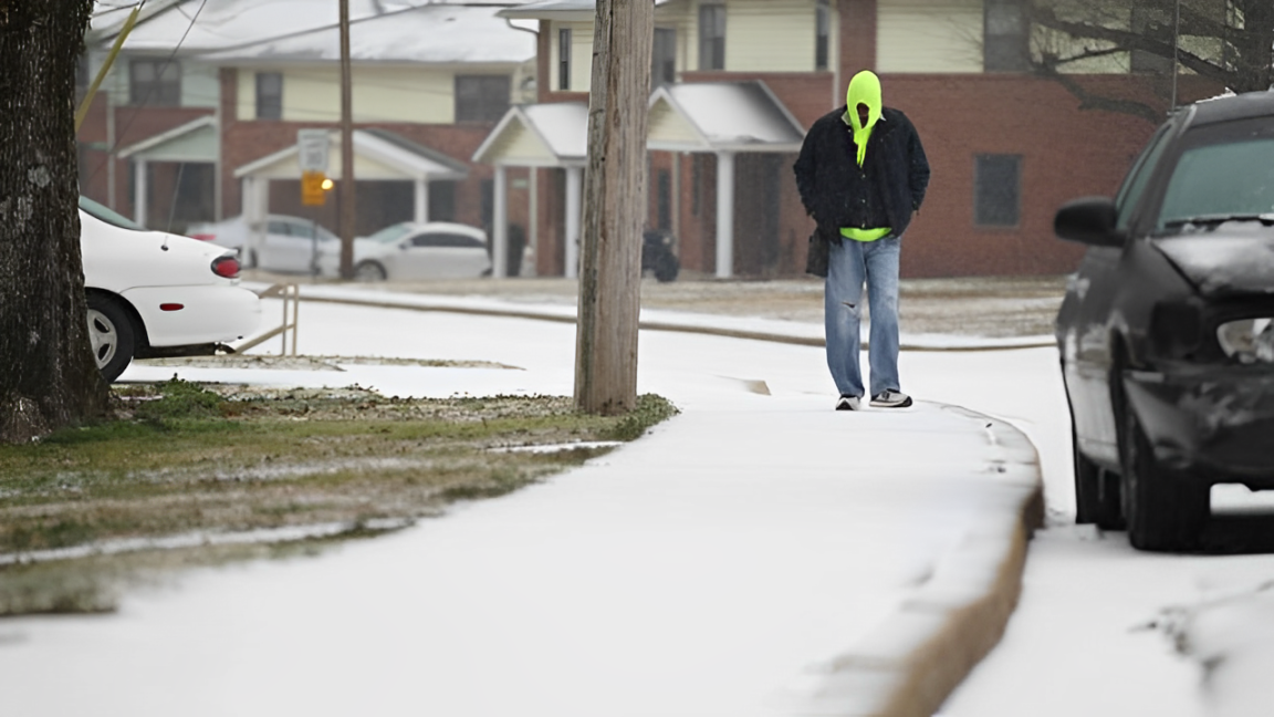
Hazardous Driving Conditions in Oklahoma City
Even before the snow arrived, Oklahoma City was dealing with icy roads due to freezing drizzle. The Oklahoma Department of Transportation’s traffic map shows roads in Oklahoma County are in “severe” condition.
At 8:50 a.m., a semi-truck slid sideways and blocked eastbound lanes of Interstate 40, just east of the I-40 interchange.
Read More:
- Morning Wind Chills Drop to -30 as Cold Weather Advisory Continues!
- Missouri Faces Extreme Frostbite Risk as Temperatures Drop Below 0!
City of Edmond Shares Weather Updates
Edmond has set up a webpage where residents can check updates on winter weather and how it affects city services.
“Important updates about disruptions to city services will be posted on this page throughout the weather event,” city officials said.
Freezing Rain Adds to the Danger
Freezing rain started falling in western and central Oklahoma around 6:30 a.m., making roads even more slippery.
According to the Oklahoma Department of Transportation, Oklahoma County roads are already becoming dangerous.
The National Weather Service warns that freezing rain creates a thin layer of ice on roads, making it hard to see but very risky to drive on.
If you must drive, slow down, turn off cruise control, and keep a safe distance from other cars to avoid accidents.
Disclaimer- Our team has thoroughly fact-checked this article to ensure its accuracy and maintain its credibility. We are committed to providing honest and reliable content for our readers.