


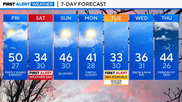
Our stormy pattern continues this weekend with a winter storm watch for Saturday night into Sunday.
While we enjoy a brief bright but blustery break on Friday , temperatures will drop during the day following a passing cold front.
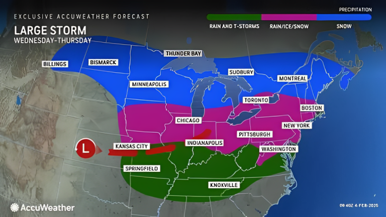
The next weather maker will organize across the Plains and the Ohio Valley.
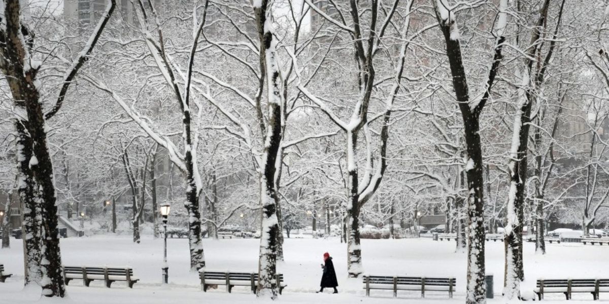
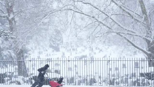
That storm will arrive in our area on Saturday evening. Eyewitness News Chief Meteorologist Lee Goldberg says this one is trending snowier than what we received from Thursday’s storm , especially to the north.
The National Weather Service has issued a Winter Storm Watch for New York City and the Tri-State area ahead of the storm.
The timing: look for the first flakes to fly from around 8:00 in the evening on Saturday until 8:00 in the morning on Sunday. The immediate New York City area and areas to the north and west will see mostly snow. Sleet and some rain will fall to the south and along the coast.
Storm Alert! Heavy Rain & Snow to Hit California Next Week!
Snowfall projections range from a coating to 2 inches south of New York City, 2-4 inches in the New York City metro area, across northern New Jersey and Long Island, and 4-8 inches north of the city.
The storm train continues its path into next week, offering a significant chance of snowfall on Tuesday afternoon and night, followed by a wintry mix that will lead to rain on Thursday.
Stay with Lee and the Eyewitness News AccuWeather for updates on this winter weather over the next several days.


+ There are no comments
Add yours