
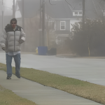


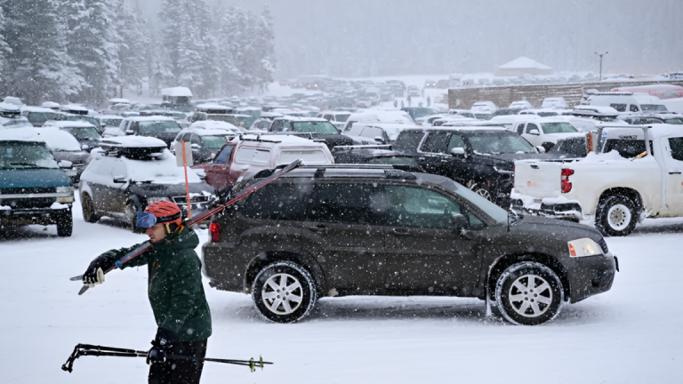
Pueblo, CO – A major winter storm is set to hit Colorado’s high-altitude areas, bringing heavy snow and strong winds from Thursday evening through Saturday afternoon.
According to the National Weather Service in Pueblo, the storm will impact several regions, including the Eastern San Juan Mountains, Upper Rio Grande Valley, and Eastern Sawatch Mountains.
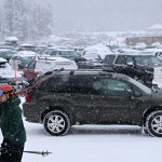
Snowfall could range between 10 and 30 inches, with the heaviest accumulations expected on south and southwest-facing slopes.

Winds will also be a concern, with gusts reaching up to 50 mph. This could lead to blowing and drifting snow, making travel difficult.
Dangerous Travel Conditions Ahead
Officials warn that road conditions will worsen quickly, especially in areas like Wolf Creek Pass, South Fork, Creede, and Cumbres Pass. Travel during this period could be hazardous or even impossible in some locations.
Commutes on Friday morning and evening may be severely affected, with reduced visibility and icy roads increasing the risk of accidents.
Read More:
- Pueblo Shelter to Open in Anticipation of Cold Weather!
- Arctic Chill Grips Colorado; Heavier Snow Expected Tuesday Night!
Villagers
Authorities advise residents and travelers to stay updated on weather reports and prepare for possible road closures. Those in high-risk areas should:
- Avoid unnecessary travel if possible.
- Carry emergency supplies like blankets, food, and water.
- Check road conditions before heading out.
With the potential for extreme snowfall and strong winds, caution is key for anyone traveling or living in the affected areas. Stay safe and stay informed.
Disclaimer- Our team has thoroughly fact-checked this article to ensure its accuracy and maintain its credibility. We are committed to providing honest and reliable content for our readers.


+ There are no comments
Add yours