Bright and clear conditions prevail across most of the Northeast and New England, except for western New York, Pennsylvania, and northern Maine. High pressure prevails, as cooler air gradually transitions to warmer temperatures. Today’s temperatures are in the 50s, gradually climbing into the 60s by tomorrow, with a chance of reaching the upper 60s on Monday.
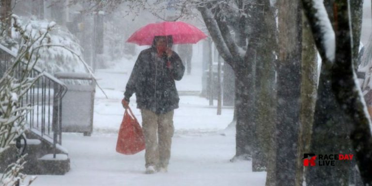
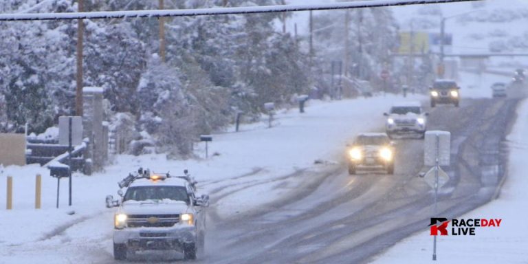
The ongoing dry conditions continue to dominate the narrative for the Northeast, while a significant system is expected to develop in the Great Lakes area by midweek next week. In regions like Michigan, Ohio, western Pennsylvania, and New York, expect to experience strong winds and significant rainfall transitioning to intense lake-effect snowfall from next Wednesday through Friday. A significant weather system is set to deliver a series of heavy downpours throughout the Tri-State area and New England.
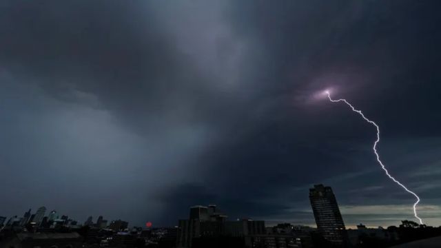
A storm system is developing as low pressure moves out of the Southwest, along with tropical energy going north into the Gulf of Mexico. Before we dive into the discussion of any significant winds from the Great Lakes, it’s important to note that there will be a heightened risk of severe thunderstorms affecting areas in Texas, Oklahoma, and Kansas late Sunday into Monday. We can expect significant rainfall impacting a large area of the Midwest. There is also a potential for locally damaging winds, large hail, frequent lightning, and the chance of a few tornadoes.


+ There are no comments
Add yours