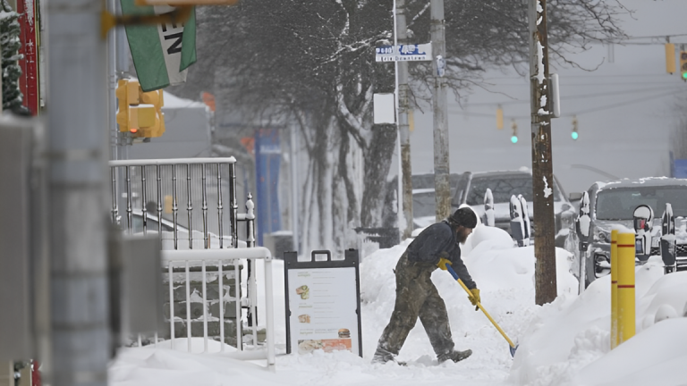
We have a wide range of weather across the Northeast, New England, and Southeast as a huge storm forms up and down the East Coast. In the Northeast and New England, snow will begin in the interior, change to rain, and then return to snow, with high accumulations in some areas. Interior portions of Maine, Vermont, and New Hampshire may receive 6-12″ of snow. 5-10″+ of snow is expected in sections of New York and Pennsylvania’s Catskills region.
We’ll also see substantial “Lake Effect” snowfall behind our system when chilly winds blow across the comparatively warm lakes. Most of this action will occur along Ohio, Pennsylvania, and New York’s east and southeast lakeshores. Those frigid winds will also help welcome in uncharacteristically cold air for this time of year, with high temperatures in the 20s and 30s, as is typical of January.
The cold front associated with our low-pressure system will also cause problems as it moves through the Mid-Atlantic and Southeast. A thin band of heavy showers and thunderstorms is predicted to build over areas of Virginia, North Carolina, South Carolina, and Georgia. We could also expect heavy showers and thunderstorms in the Florida panhandle and northern Florida.
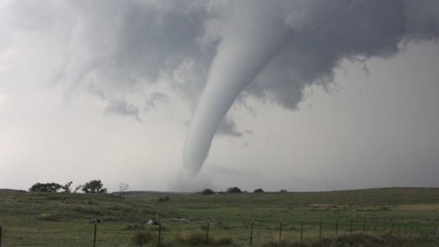
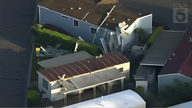
These thunderstorms will be brief, but powerful, with some storms reaching severe levels. Consider the possibility of destructive winds, hail, frequent lightning, and torrential rain. The time frame for this event appears to be late tomorrow morning through tomorrow evening, west to east.











+ There are no comments
Add yours